
Compath Pro
Built for mountain professionals
For guides, instructors and outdoor pros who need precision and safety in the field.
Forest weather
Live wildfire-risk forecasts attached to every route. Anticipate the exposed areas and sensitive periods before you leave, even in fire-prone forest terrain.
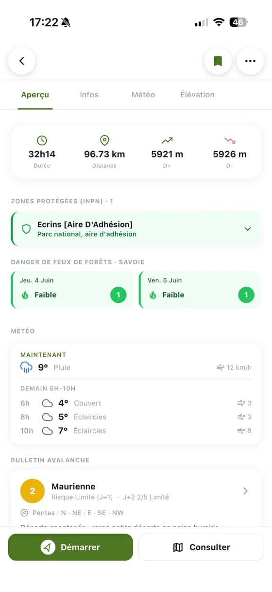
Live avalanche bulletins
Météo-France BERA reports automatically attached to every route, by massif. These official bulletins describe snowpack conditions and the avalanche risk level for the area. Updated daily and available offline, so you can read them in the mountains with no signal.

Route & terrain slopes to the degree
Slope colouring from IGN's RGE ALTI® 5 m digital terrain model. RGE ALTI® is a DTM produced by IGN, based on an altitude grid that finely represents ground relief. With a 5 m resolution (and 1 m in some areas), it allows precise terrain analysis at the local scale, and is widely used for relief modelling, natural-risk prevention (avalanches, floods, landslides) and slope study in forest or mountain environments. The data mainly comes from LiDAR acquisitions carried out since 2010 covering the whole of France. The colouring highlights terrain slopes and quickly identifies passages above 30°, to better anticipate technical sections before an outing.

Regulated & sensitive zones
National parks, Natura 2000 sites and biotope protection orders (APB) from INPN, plus seasonal sport restrictions via Biodiv'Sports. Everything is computed automatically for each route to flag areas where access may be limited or forbidden.

The Pro subscription happens in the app
Download Compath on iOS or Android then subscribe from the paywall. Everything is managed from your account.